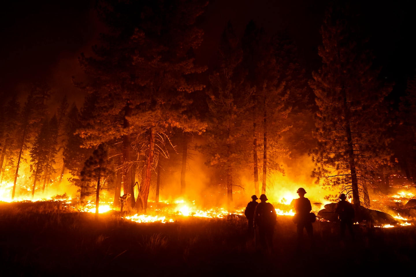
Wildfire smoke is everywhere now. Here are the best apps to check air quality in your area.

The “smoke” tab is your best destination for quick information on wildfires. Pinch your fingers together to zoom out, and you can watch smoke clouds as they travel. The map also shows fire incidents. The tiny, colored shapes represent air-quality readings from the EPA and U.S. Forest Service monitors, as well as the more accessible (but less accurate) PurpleAir sensors people can buy for themselves. The legend shows what the colors mean, with green being the best air quality and purple the worst. Taken together, these readings give you a good snapshot of what’s going on in the area, both at the moment and over the past few hours, Mayeda said.
Source: WP


